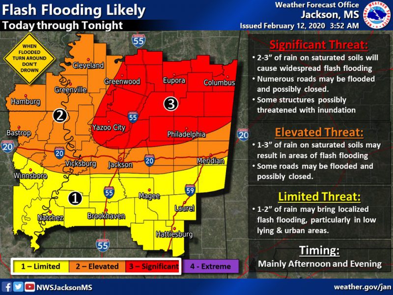
The National Weather Service is wanting residents in central and eastern Mississippi to be aware of the potential for flooding for much of this week.
The NWS predicts that parts of Leake and Neshoba counties see anywhere from 2 – 3 inches of rain tonight through Thursday morning.
A Flash Flood watch and Flood Warning have been issued for much of the Kicks96 coverage area.
There is also a chance for severe weather Wednesday night into Thursday morning.
Always remember to never drive through flooded roadways.
Turn around. Don’t drown!
Stay tuned to Kicks 96 and Kicks96news.com for updates on this weather system.