
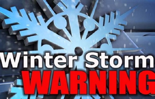
A winter storm warning is in effect across the state including our area. The warning remains in affect until February 16th at 6am.
WHAT-Heavy mixed precipitation expected. Total snow and sleet accumulations of up to 3 inches and ice accumulations of one quarter to one half of an inch.*
WHERE – Portions of northeast Louisiana, central, east central, north central, northeast, northwest, south central, southwest and west central Mississippi and southeast Arkansas.
WHEN – Until 6am Tuesday, 2/16
IMPACTS –Power outages and tree damage are likely due to the ice. Travel could be nearly impossible. The hazardous conditions could impact the morning or evening commute. The cold wind chills as low as 5 below zero could result in hypothermia if precautions are not taken. If you must travel, keep an extra flashlight, food, and water in your vehicle in case of an emergency. The latest road conditions for Mississippi can be obtained by visiting mdottraffic.com
Winter Storm Warning issued February 13 at 11:23PM CST until February 16 at 6:00AM CST by NWS Jackson Adams; Attala; Bolivar; Carroll; Choctaw; Claiborne; Clay; Copiah; Covington; Franklin; Grenada; Hinds; Holmes; Humphreys; Issaquena; Jasper; Jefferson; Jefferson Davis; Kemper; Lauderdale; Lawrence; Leake; Leflore; Lincoln; Lowndes; Madison; Marion; Montgomery; Neshoba; Newton; Noxubee; Oktibbeha; Rankin; Scott; Sharkey; Simpson; Smith; Sunflower; Warren; Washington; Webster; Winston; Yazoo…


