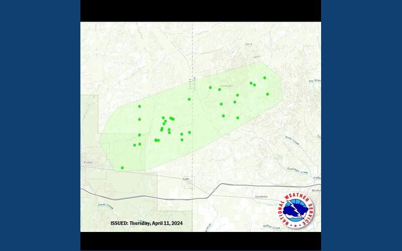
The widespread storm damage in eastern Scott County and western Newton County late Tuesday night was the result of straight-line winds, not a tornado. That’s what the National Weather Service is saying after a survey team inspected the damage in and around Forest and as far east as the Conehatta area. The team found a swath of damage almost 15 miles long and up to 3-4 miles wide. NWS estimates the peak winds at 100 mph, stronger than a weak tornado. Nearly four dozen homes were damaged by the wind and falling trees with five injuries. In addition, a woman died after the storm knocked out power to her home disabling her supplemental oxygen supply.
The Weather Service has confirmed a total of three tornadoes so far (EF-0 in Warren County, EF-1 in Hinds County and EF-0 in Madison County.)


