
CARTHAGE, Miss.–As of early Monday, Ida had been downgraded to a tropical storm, with maximum sustained winds at 60 mph. It was still moving north and headed for central Mississippi at 8 mph. That’s slow and the speed could mean more problems.
“You’ve got rain-soaked soils and winds of that magnitude, particularly lasting over an extended period of time, it’s gonna knock down quite a few trees,” said Daniel Lamb, a forecaster with the National Weather Service.
#Ida has been downgraded to a tropical storm. Central pressure: 990mb. Current winds: 60mph. Moving north at 8mph. #mswx #lawx https://t.co/HhD5DqXQ1n
— NWS Jackson MS (@NWSJacksonMS) August 30, 2021
The storm was bringing heavy rain and some flood warnings to south Mississippi counties, as well as tornado warnings in coastal counties.
In an interview Sunday afternoon Tommy Malone, Leake County Emergency Management director, said he and other county leaders had met.
“We got game plans together on response to any reports of downed trees, lines, anything like that,” he said.
Malone said downed trees that have been a problem in recent storms on the Natchez Trace Parkway, would likely be a problem again, and that would be handled by the people with the Trace.
Danny Townsend, Attala County Emergency Management director, stressed the importance of traveling only when necessary.
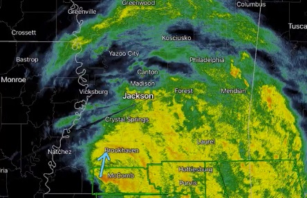
Power outages & trees down in Brookhaven. #mswx https://t.co/pUhVZty33h
— NWS Jackson MS (@NWSJacksonMS) August 30, 2021
The storm is expected to take all day and perhaps into the evening and overnight to move through central Mississippi.


