
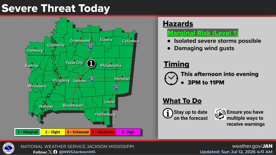
The National Weather Service is keeping most of Mississippi including the local area under a Level-1 “marginal” risk of isolated severe storms from mid-afternoon through this evening. Damaging wind gusts will be possible. Heavy rain and frequent lightning can also be expected. With more showers and storms forecast through Wednesday, the state will enjoy a brief break from the heat stress with afternoon highs reaching only into the mid and upper 80s. Hotter and drier weather will return later in the week.